-
Call: +(91) 92577-55005
-
Email: info@dronetra.in
Surveying & Mapping
Aerial Drone Surveying and Mapping
Our stellar Aerial Drone Surveying / Mapping techniques are here to promote your treasured business to the next level by preserving time and money.
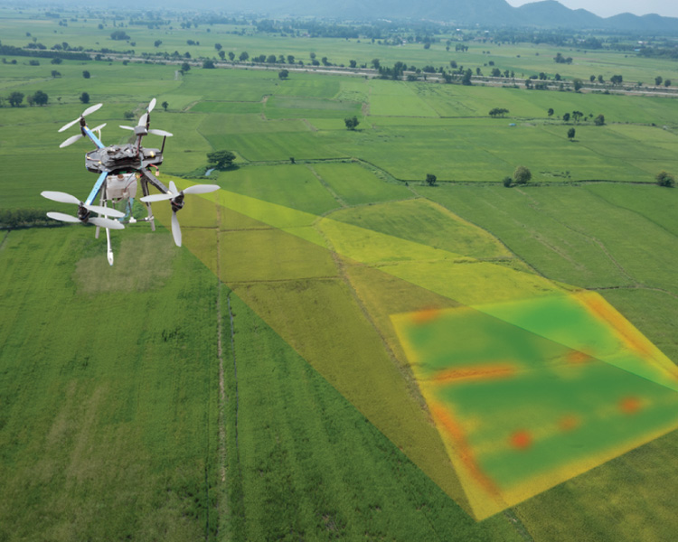
Dronetra offers high end drone surveys for land Surveying, and GIS mapping solutions using its UAV surveys throughout India. Airpix’s drone mapping solutions allow stakeholders to receive accurate topographic maps delivered on time using photogrammetric software, along with updated Google Earth and GIS layers to generate orthophoto, base map, and volumetric analysis.
Our customers get high-resolution actionable photogrammetry information, eliminating the need to wait for weeks to get traditional ground survey results or rely on outdated public maps.
We strategize a systematic plan. Steps invloved are as follows - First and foremost we analyzie the area in terms of dimention where we have to carry out survey. Then the drone fles over that area then Data is being captured and is processed and results are delievered.
We have catered drone survey in various industries and sectors.
- Land Survey
- Mining Survey
- Road Survey
- Railway Survey
- Solid Waste Survey
- City Survey
- Canal Survey
- River Survey
- Property Survey
Industries Served
We offer highly accurate and detailed GIS Surveying, drone inspection, mining services, flood Assessment, crop health monitoring, topographic survey, UAV data processing, 3D mapping, and aerial photography and qualified personnel such as wind turbine experts.
Transportation

Mine Survey

Energy
